 geocatalogue.geoportail.lu
Administration des Services Techniques de l'Agriculture
Type of resources
Available actions
Topics
Keywords
Contact for the resource
Provided by
Groups
Years
Formats
Representation types
Update frequencies
status
Scale
-
The thematic maps presented here are published annually in the hydro-climatological Atlas of the Grand-Duchy of Luxembourg. The project is a collaboration between the Luxemburg Institute of Science and Technology (LIST), the Administration de la gestion de l’eau (AGE) and the Administration des services techniques de l’agriculture (ASTA). The maps show the spatial distribution and temporal evolution of air temperature and precipitation providing an overview of the meteorological situation in Luxembourg. The basis of this documentation is a dense and continuously operating measurement network throughout the country. For regions in which measurements are unavailable, values were estimated by means of spatial interpolation (Inverse Distance Weighting). The current precipitation patterns are compared with a climatic reference period (30 years).
-

Agricultural reference parcels of Luxembourg 2024
-
informations from the different weather stations
-
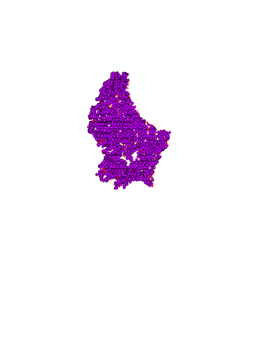
Landscape features on the reference parcels (FLIK)
-

This layer contains buffer strips along watercourses that have been generated in an automated process. The layer helps to identify obligations of protection in the context of the national law on nature protection of the 18 july 2018. The layer is subject to changes introduced through complains by farmers of adjacent parcels.
-

6 meter strips in the FLIK reference parcels along forest edges
-
This layer contains the meteorolgical parameters of the database on agrimeteo.lu
-
This layer contains the meteorolgical parameters of the database on agrimeteo.lu
-
This layer contains the meteorolgical parameters of the database on agrimeteo.lu
-
This layer contains the meteorolgical parameters of the database on agrimeteo.lu